Reporting points on the Garmin 60CSx
For those flying VFR in New Zealand, I've put together a Garmin GPX file of all the VFR reporting points. These points can be viewed in Garmin MapSource (or RoadTrip), or on any Garmin mapping device.
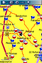
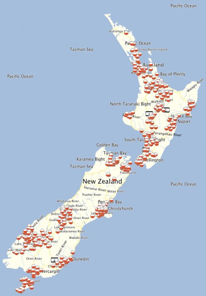
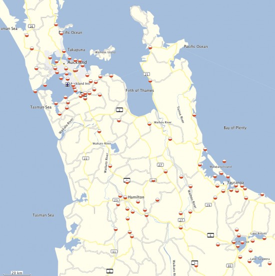
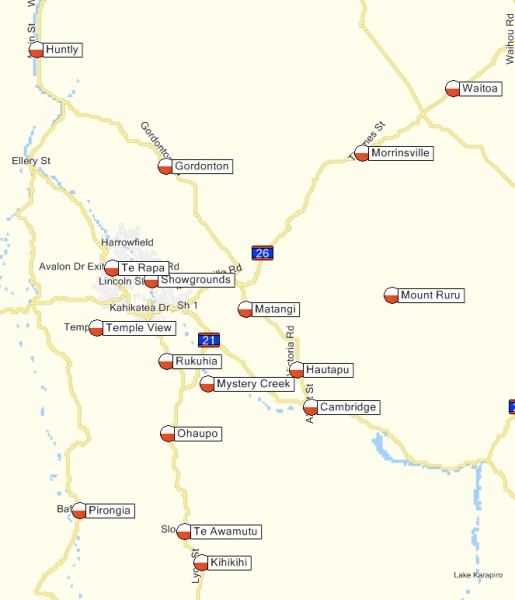
They've been made to have a red and white navigation icon, so they really stand out clearly on the screen, and look different to other waypoints you may have.
This file was created from the VFR reporting points PDF file available on the CAA website, available from this page.
If you have any questions or comments about this file please use the comments section or contact Tim here.
Warnings
- The points in this file have not been checked for accuracy.
- The file was generated automatically from the text extracted from the PDF file from CAA on the 16th April 2009.
- As CAA states in the PDF file, "pilots must be careful not to rely on GPS or other GNSS derived positioning to reach visual reporting points due to the elevated risk of encountering other aircraft due to the extreme accuracy of such navigation systems. When approaching visual reporting points, the primary navigation means by VFR pilots should always be by visual reference."
- Do not use this file or these points while flying, always refer to an official Visual Navigation Chart, available for purchase here.
How to use
- Download the GPX file above, and save it somewhere on your hard drive eg. your desktop
- In MapSource on Windows, choose "File"->"Open" from the main menu. If you're on a Mac choose "File" -> "Import" from the menubar.
- On Windows Ensure "Files of Type" is set to "GPS eXchange Format (*.gpx)" or "All Files (*.*)"
- Find and select the file.
- If you're on a Mac check the Road Trip preferences that the "transfer" tab will send waypoints.
- Upload the waypoints to your GPS.
Overview of the whole of New Zealand in RoadTrip on Mac
Close up of Waikato and Auckland in RoadTrip on Mac
Close up of Hamilton in MapSource on Windows

